
Unexplained Stories
The GPS Tracks That Jumped 30 Years Into the Future
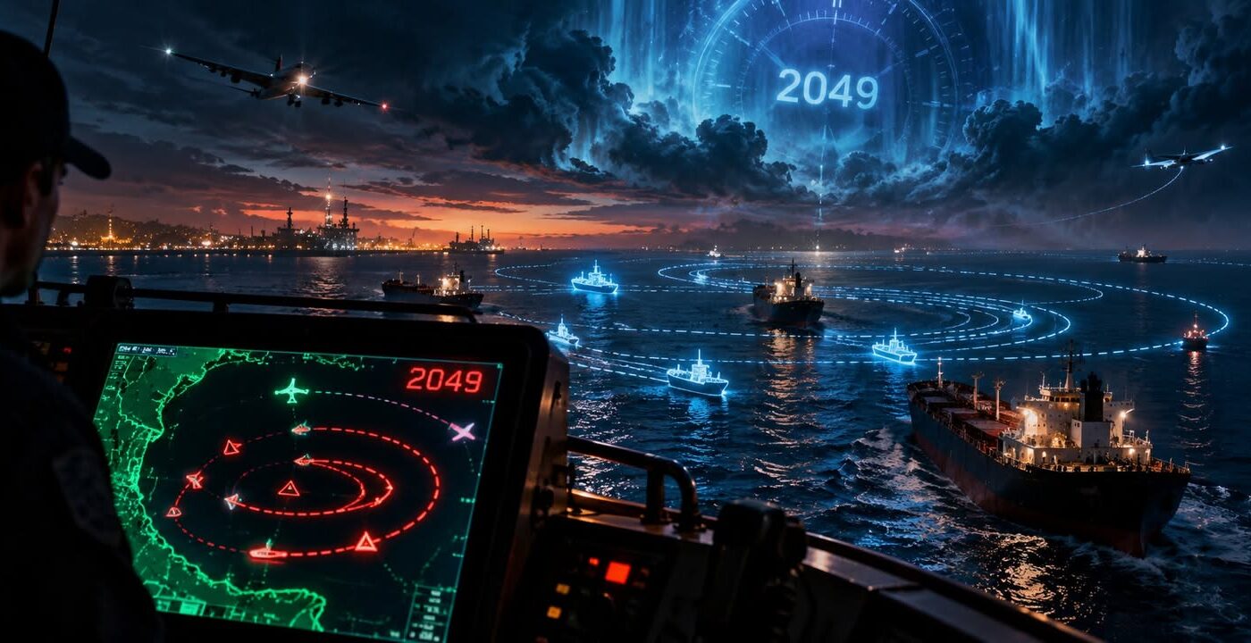
A ship was operating off the coast of Nigeria when its electronic tracking system began reporting a remarkable journey.
According to the data, the vessel had suddenly appeared thousands of miles away near California. It was moving in strange patterns, circling through the Pacific Ocean before appearing in places no ship could possibly reach.
Some of its reported positions were on dry land, far from the nearest ocean. At other times, it seemed to jump back to Africa before resuming its impossible American journey.
There was one particularly strange detail: the ship hadn’t gone anywhere near California. Its electronic tracking system was telling a story that had nothing to do with where the vessel actually was.
A Ship Appears on the Wrong Side of the World
The vessel was called Princess Janice, an offshore supply ship operating near Nigeria in June 2019. Like thousands of commercial vessels, it carried an Automatic Identification System, commonly called AIS.
The equipment broadcasts information such as a ship’s identity, speed and location so other vessels and tracking services can follow its movements. Under normal circumstances, a ship’s position changes gradually as it travels.
But the signals associated with Princess Janice began telling a very different story. From June 5 through June 21, the electronic track repeatedly placed the vessel near Point Reyes, California.
Some reported positions formed unusual loops, while others carried its electronic identity across parts of the western United States. At times, the coordinates appeared around Utah, hundreds of miles from the Pacific coastline.
The data had effectively created a second Princess Janice, one that was making an extraordinary journey while the real ship continued operating in African waters.
Investigators Followed the Signals
Researchers from SkyTruth and Global Fishing Watch began examining the records. They wanted to establish whether the ship had experienced an equipment malfunction or whether something had interfered with its reported position.
One valuable clue came from the satellites receiving its signals. By examining where those satellites were positioned, researchers could narrow down the vessel’s real operating area.
Their analysis showed that Princess Janice remained near the Nigerian coast and the Gulf of Guinea throughout the period. The vessel’s physical location and the coordinates appearing in public tracking systems were thousands of miles apart.
That raised a troubling possibility for anyone relying on electronic navigation. If the false coordinates looked convincing, other systems might accept them without recognizing that anything was wrong.
More Ships Reported Strange Journeys
Princess Janice wasn’t an isolated case. SkyTruth researchers identified roughly a dozen vessels whose electronic tracks experienced similarly enormous shifts.
Some appeared near Point Reyes, while others suddenly turned up around Madrid, Hong Kong or coastal China. Several tracks formed circles and ovals, with reported positions moving along paths that looked strangely deliberate.
An ordinary navigation error might produce a point in the wrong location. These records were unusual because the false tracks sometimes continued moving through organized patterns over extended periods.
Researchers compared the suspicious positions with earlier movements and other satellite information. The findings suggested interference or manipulation capable of producing convincing journeys that never happened.
Shanghai’s Mysterious GPS Circles
Another investigation in 2019 uncovered something equally bizarre near Shanghai, China. Ships traveling along the Huangpu River were appearing on tracking displays in locations they hadn’t visited. Their reported positions moved around circular paths, as though they were repeatedly sailing around invisible objects.
The shapes were so unusual that researchers began calling them GPS crop circles. But investigators soon discovered that the phenomenon wasn’t limited to ships.
Researchers at C4ADS compared the maritime records with location data from fitness-tracking devices used by cyclists in Shanghai. The cyclists’ recorded positions showed similar distortions.
Different kinds of equipment were experiencing the same unusual effect. Whatever was causing it appeared capable of influencing more than one navigation system.
A Circle That Took About a Minute
Navigation researcher Todd Humphreys at the University of Texas examined detailed recordings of the Shanghai phenomenon. One affected receiver appeared to travel around a circle approximately 200 metres in radius. Its reported position completed a circuit in roughly 60 to 68 seconds.
The patterns were particularly interesting because they didn’t resemble the simplest forms of GPS spoofing. That technique involves broadcasting misleading radio signals that trick navigation receivers into calculating an incorrect location.
In a conventional attack, multiple nearby devices might be pulled toward the same false point. Shanghai’s records showed individual devices appearing at different positions around moving circles.
Researchers could measure the timing and geometry of those movements, but understanding exactly how they had been produced was much harder.
The Reports of a Date From 2049
The strange navigation events of 2019 also became associated with an extraordinary claim involving time itself. Some accounts described GPS equipment near the Texas Gulf Coast displaying a date in 2049, approximately thirty years ahead of the actual year.
GPS depends on precise timing as well as location, so an incorrect date can cause serious problems for equipment using satellite signals. In April 2019, a scheduled GPS week-number rollover had already caused problems for some older receivers.
The specific account involving a Texas vessel and the year 2049 remains difficult to trace to an original technical record. The reported date jump adds an intriguing element to the story, although the documented incidents in Nigeria and Shanghai provide the clearest evidence of the wider phenomenon.
The Danger of a Convincing False Position
The incidents raised serious concerns for people who rely on satellite navigation. Ships use GPS and AIS information to monitor surrounding traffic, plan routes and avoid dangerous situations.
A navigation system that simply stops working is frustrating, but the failure is usually obvious. A system displaying a confident yet completely incorrect position presents a different kind of danger.
A captain could be looking at a screen showing another vessel somewhere it isn’t, while the real ship approaches from an unexpected direction. Similar technology supports activities far beyond shipping, including aircraft navigation, telecommunications and financial systems that depend on accurate timing.
The Shanghai investigation also showed how carefully false movements could be controlled. The recorded circles followed repeated paths rather than random jumps, suggesting a surprisingly organized effect.
The Invisible Journey
The Shanghai patterns left researchers with an unusual technical puzzle. Several receivers appeared to follow carefully shaped routes even though their physical movements were entirely different.
Understanding how those false signals were produced could help engineers design equipment better able to recognize interference. But the same research also raised an interesting possibility about what someone with the right equipment might be able to accomplish.
A ship could be sitting safely in a harbor.
Somewhere on a tracking screen, it could be sailing straight through a mountain.